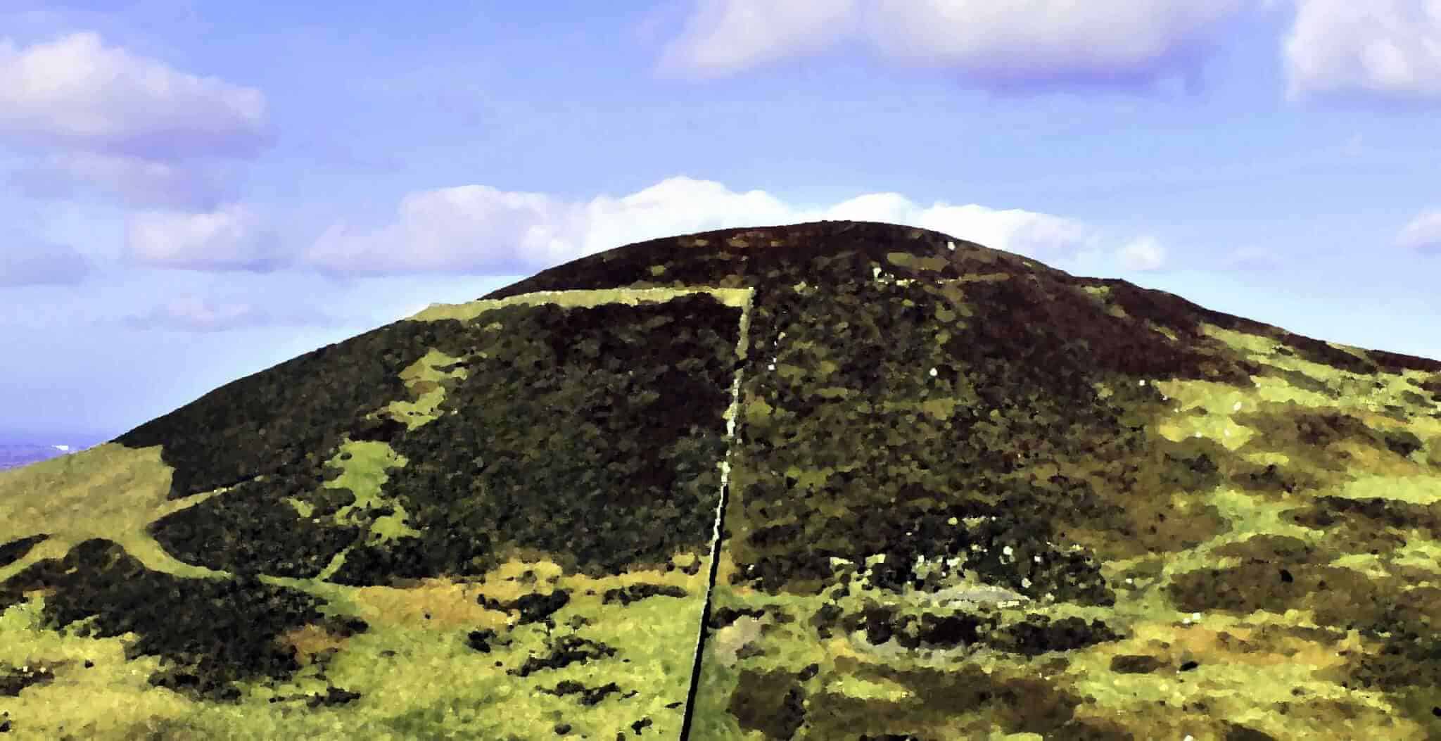
Built over 2,500 years ago around 500 BC, Moel Arthur is one of a series of Iron Age hill forts to be found on the summits of the hills of the beautiful Clwydian Range in North Wales. Overlooking the Vale of Clwyd, it sits between Moel Llys y Coed and another hillfort at Penycloddiau.
Although relatively small at just over 2 hectares in size, the fort boasts some of the largest earthworks, banks and ditches in the area. These are most impressive on the gently sloping northern side of the fort where there is a double rampart.
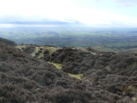
Evidence has been found showing activity on Moel Arthur not only during the Iron Age but also earlier in the Bronze Age. A possible Bronze Age burial mound lies in the centre of the fort and in 1962, three copper Bronze Age flat axes were found within the ramparts. Earlier excavations also turned up coarse Roman pottery and flint arrowheads, suggesting the hill fort was in use both before and after the Iron Age.
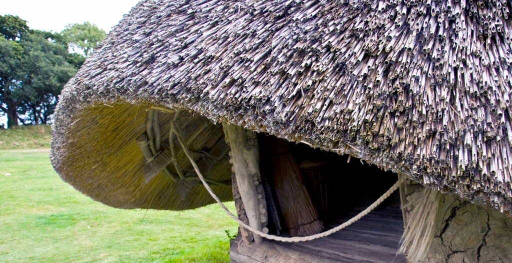
What would life have been like on Moel Arthur in the Iron Age? The population would have lived in groups of wooden-framed roundhouses within the ramparts. These roundhouses had a central hearth, wattle and daub walls and a thatched roof. Often the only evidence of a roundhouse to be found today is a circular depression in the ground, a drip gully caused by the run-off of water from the thatched roof.
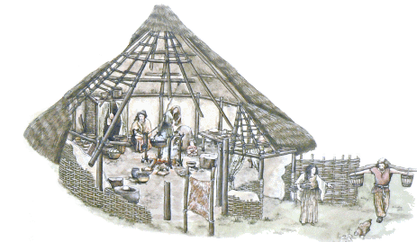
Iron Age people were farmers, growing grain and pulses and keeping cattle, sheep and pigs. They also gathered nuts, berries and wild plants. Woodland was coppiced to produce even sized poles for building and to provide firewood.
They were also highly skilled craftspeople, working bronze and forging iron to make tools and weapons.
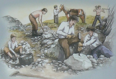
There is a evidence of ancient quarrying on Moel Arthur and the hill also featured during the short-lived ‘Cilcain Gold Rush’ during the 19th century. In 1888 finds of gold in the local area hit the headlines in the Mining Journal. A small mine at Moel Arthur and several nearby sites were worked for several years but apparently no fortunes were made!
Getting here. Take the Mold to Denbigh road (A541) and take the next left after the Cilcain turn off. There is a small car park about 2 miles down this road. From the car park follow the Offa’s Dyke Path signposts to the base of the hill.
